









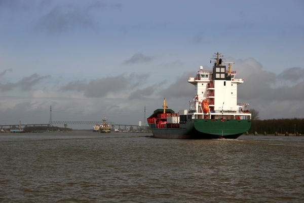
Ship navigation is a decision-making process that requires the officer in charge of the vessel to have the ability to correctly analyze a large amount of data arriving from various devices in very rapid succession. The essence of good navigation is primarily to ensure safe passage from the port of departure to the port of destination. Subsequent criteria may include passage costs, and consequently, the time and distance of the passage.
Nowadays, the navigation bridge is filled with many electronic devices supporting the navigator’s work. These devices are increasingly classified as part of a larger system known as an integrated navigation bridge. This system includes devices for determining the vessel’s position (radio navigation and satellite systems) and situational awareness (electronic chart systems ECS/ECDIS or I-ECDIS, radar/ARPA). The fundamental goal of the integrated navigation bridge is to assist the navigator in operating the vessel through data analysis and the interpretation of information from multiple sources [7]. Using known data fusion techniques, it is possible to present inference results on the screen of a single device, the so-called MFD (Multi-Functional Display). The dynamic development of technology in recent decades brings new devices to the ship’s navigation bridge. Surely, a time will come when electronic devices will be able to fully replace human functioning during a voyage. However, before that happens, many methods and algorithms must be developed to ensure compliance with international standards regarding the behavior of objects at sea. This article focuses on an elementary issue related to broadly understood maritime transport, which is part of the ship’s voyage planning process.
1. SHIP VOYAGE PLANNING
One of the tasks of a navigator on duty on a ship, which falls within the scope of issues related to the maritime navigation process, is planning the ship’s passage route between the port of departure and the port of destination. In accordance with international SOLAS and STCW conventions, the captain of every vessel engaged in international shipping must have a complete voyage plan before leaving port for sea. Planning a sea voyage is a continuous process in which the controlled goal of the vessel’s operation is realized in accordance with its purpose. In this process, an optimal, detailed navigation plan is presented, taking into account all available, current information, with regard to aspects of navigation safety and voyage efficiency [4]. The purpose of voyage planning is:
– preventing general threats to the ship and the occurrence of unforeseen, dangerous situations on the voyage route;
– optimizing the implementation of the voyage plan, given specific criteria and constraints;
– detailed division into cycles, facilitating planning and implementation processes;
– obtaining the ability to record voyage data for the purpose of comparative analysis of the plan against results.
The implementation of the plan takes place in stages. The structure of the plan implementation division includes:
– problem formulation (voyage goal, schedule, and method of implementation);
– problem analysis (data collection, material selection);
– searching for various solution possibilities (solution variants for various external disturbances, etc.);
– decision regarding the method of plan implementation (method of developing the selected route).
Paying attention to the above goals, assumptions, and stages of voyage planning, in great simplification, the problem of determining a ship’s passage route is an optimization task consisting of determining consecutive turning points. A necessary condition during voyage planning is to take into account a number of significant navigational constraints, which, however, have been intentionally omitted in this study.
The article contains 11,700 characters.
Source: Logistyka Magazine